The American Experience Distinguished Lecture Series
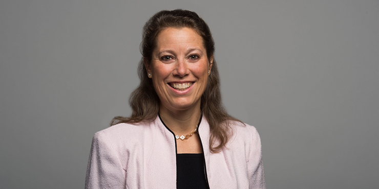
Carrie Stokes, Chief Geographer & Director of the GeoCenter U.S. Agency for International Development, U.S. Global Development Lab.
"From Space to Village: How Satellites and Mapping Tools Can Help End International Poverty."
NOVEMBER 8, 2018 / 7:00 p.m. - 8:00 p.m. / The University Club
WATCH THE VIDEO USING THIS LINK
Carrie Stokes has worked for 30 years in international development and the environment. She is the first Geographer of the US Agency for International Development (USAID), which is headquartered in Washington, DC. USAID is the world's premier international development agency, leading foreign assistance for the US Government in 100 countries across Africa, Asia, Latin America & the Caribbean, the Middle East, and Eastern Europe. Carrie is the recipient of the American Association of Geographers (AAG) Gilbert White Public Service Award, and was selected as a finalist for the prestigious Service to America Medal (Sammie) award.
Carrie established and directs the USAID GeoCenter, a team of geographers and data analysts who apply geographic analysis to inform development decision-making. Prior to becoming the Agency's Chief Geographer, Carrie started and managed an international geo-technology program known as SERVIR, in a joint venture between USAID and NASA. Carrie has a technical background in Geographic Information Systems (GIS), global climate change, and natural resources management. She served as a Peace Corps Volunteer in Niger, West Africa, and holds an M.S. in Environmental Science from the School of Public and Environmental Affairs at Indiana University. At various points in her life, she has spoken Spanish, Russian, French, and Fulfulde, an African language of the Fulani nomads, with whom Carrie lived for 3.5 years.
This lecture is free and open-to-the-public.
Registration is requested as seating is limited.
Refreshments will be served.
Parking is suggested at Soldiers and Sailors auditorium garage.
This lecture is co-sponsored by PittHonors and The Dick Thornburgh Forum for Law & Public Policy.